Accedi
Tutte le risorse
Creare un design
Tools
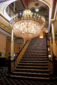
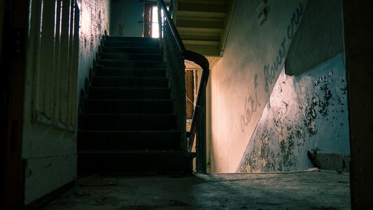
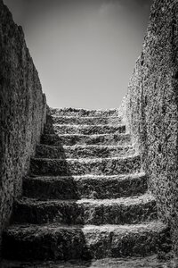
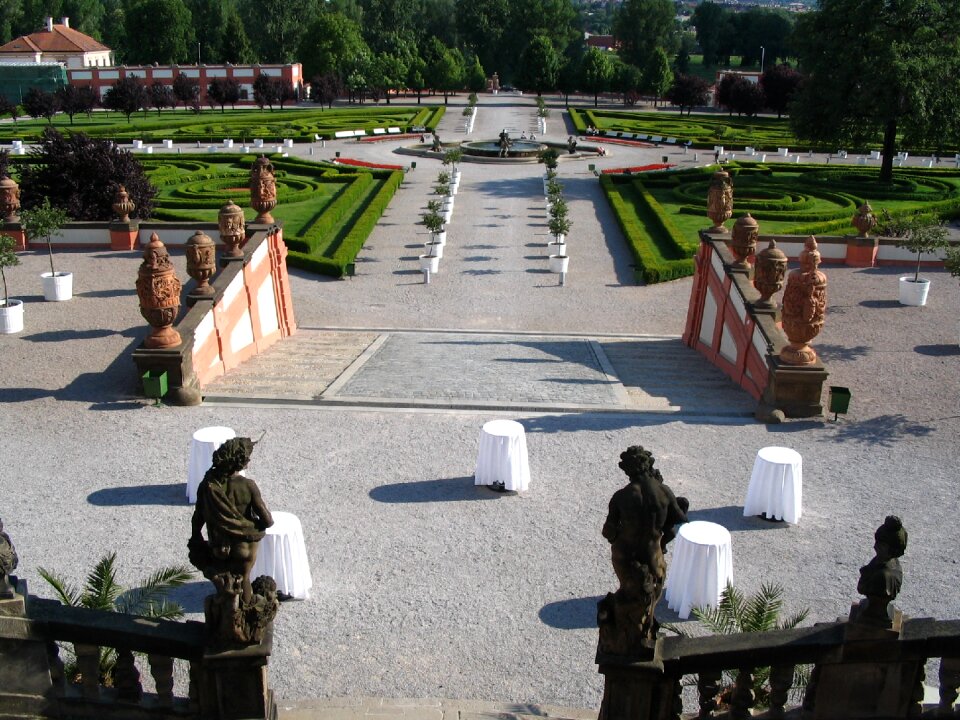
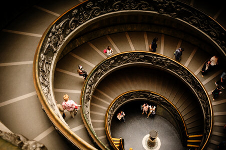
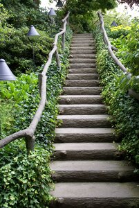
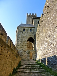
4.950 Immagini gratuite per Le Scale
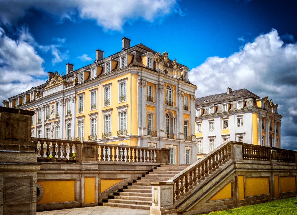
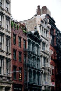
architettura
storico
edificio
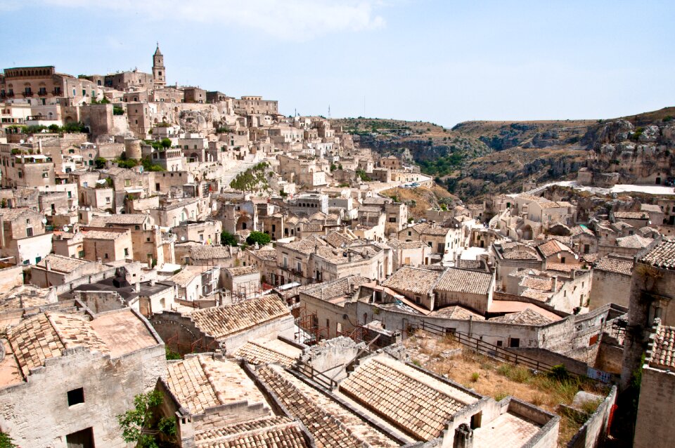
città
vecchio
storia
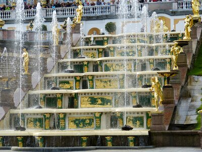
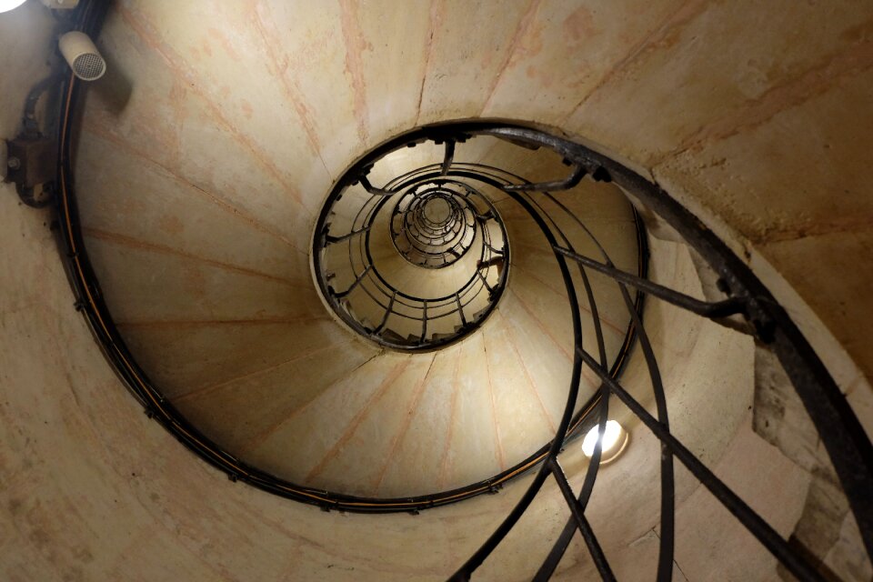
scala
ringhiera
turismo
emergenza
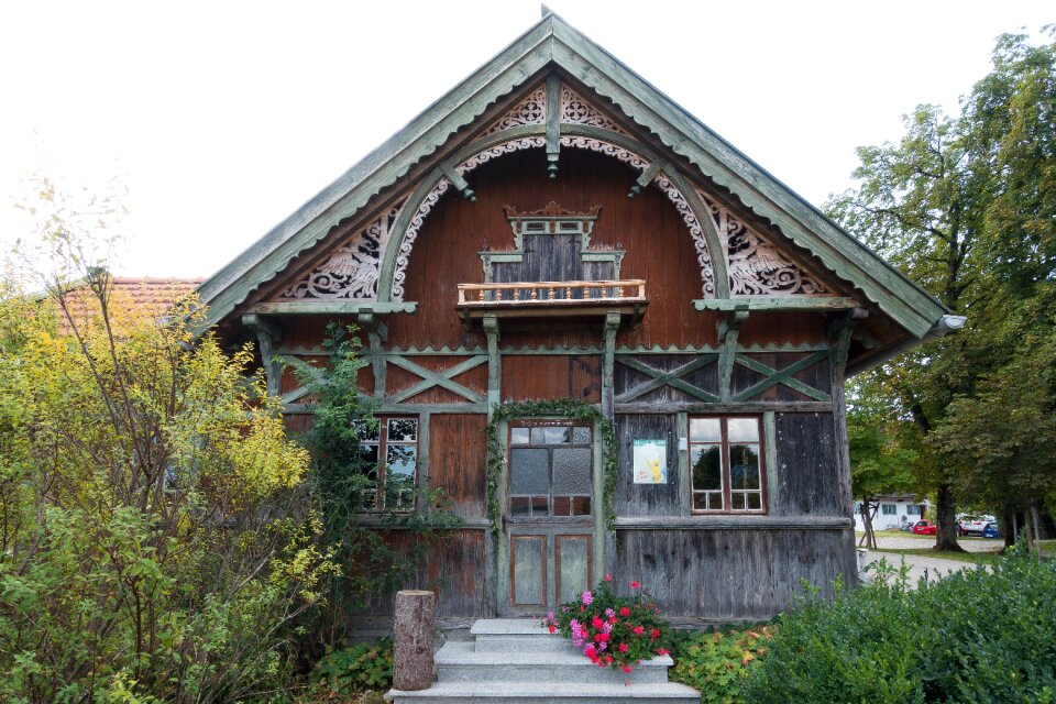
edificio
casa
monumenti
edificio
illustrazione
scuola
antica grecia
storia
storia
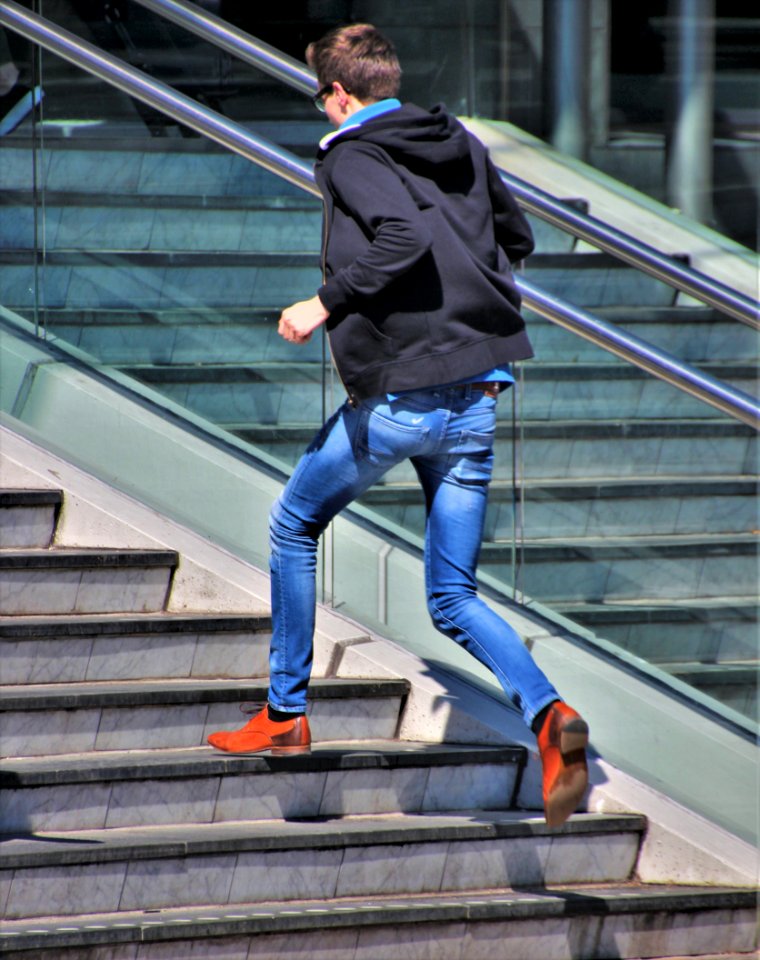
uomo
new york
città
maschio
corsa
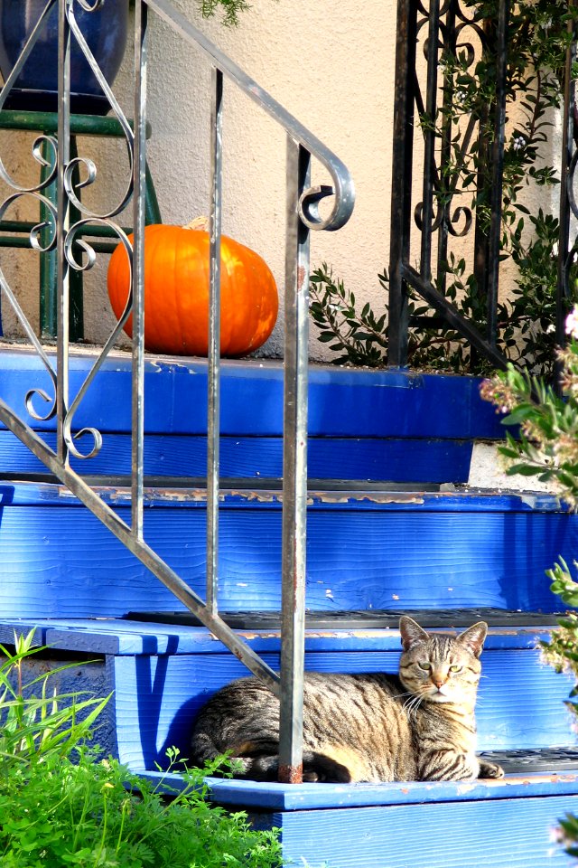
animali
verdure
maschio
persone
viaggio
albero
edificio
viaggio
industria
città
viaggio
città
edificio
città
simbolo
viaggio
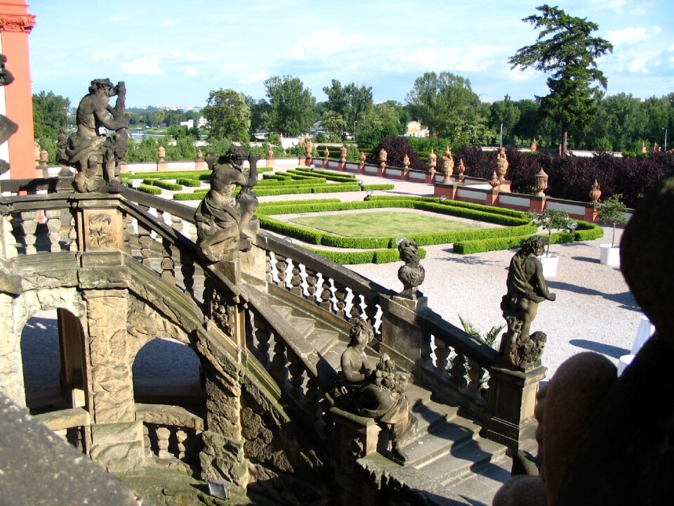
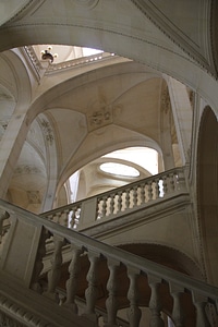
edificio
pietre
edificio
scultura
architettura
persone
paesaggio
storia
edificio
pietre
scultura
acqua
paesaggio
città
edificio
città
edificio
città
uomo e donna
massa
primavera
stampa
abbigliamento
femmina
bottoni
birra
verdure
acqua
cavalli
volo
carattere
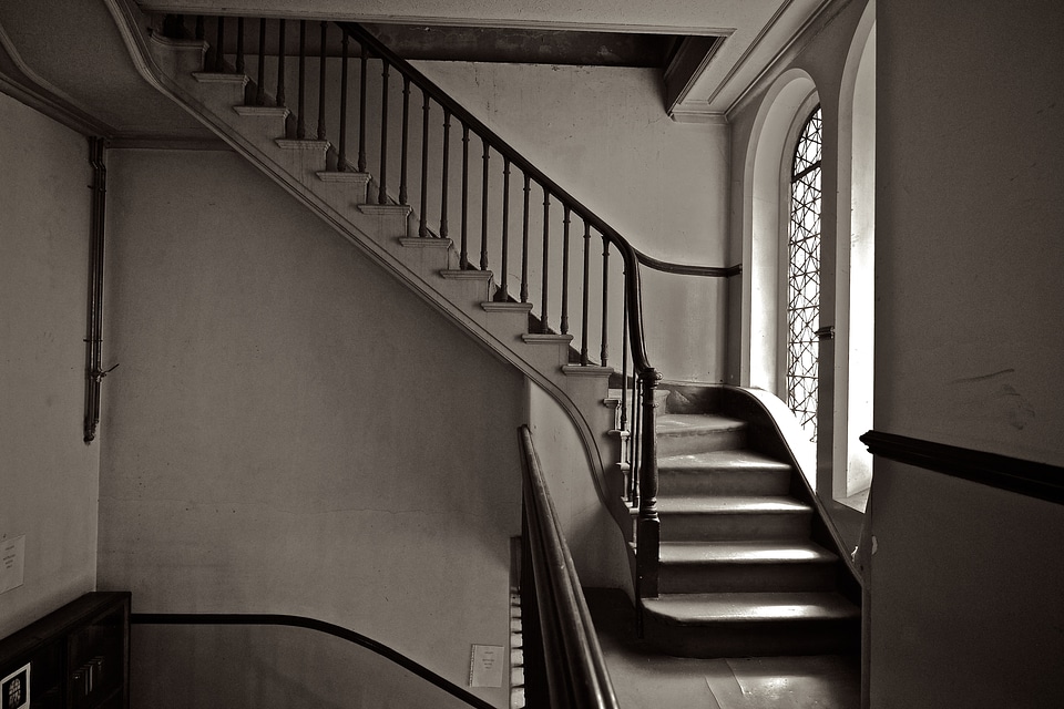
le scale
edificio
casa
monumenti
pietre
architettura
edificio
viaggio
scene
edificio
viaggio
acqua
fiori
edificio
scultura
architettura
edificio
ritratto
albero
denaro
architettura
città
foresta
albero
edificio
spazio
4601 - 4700 di 4.950
Pagina successiva
/ 50


![L'Isle de France. Descrip[tio] of the field of Paris / François de La Hoeye made, 1619](https://cdn.creazilla.com/illustrations/10000432165/l-isle-de-france-descrip-tio-of-the-field-of-paris-fran-ois-de-la-hoeye-made-1619-md.jpg)


![L'Isle de France. Descrip[tio] of the field of Paris / François de La Hoeye made, 1619](https://cdn.creazilla.com/illustrations/10000573199/l-isle-de-france-descrip-tio-of-the-field-of-paris-fran-ois-de-la-hoeye-made-1619-md.jpg)


![Apuliae, Messapiae in qua Calabri ac Salentini et Lucaniae descriptio. 12; Bruti agri descriptio. 13 / auctore Phil[ippo] Cluverio; Henry le Roy fecit, 1624](https://cdn.creazilla.com/illustrations/10000682309/apuliae-messapiae-in-qua-calabri-ac-salentini-et-lucaniae-descriptio-12-bruti-agri-descriptio-13-auctore-phil-ippo-cluverio-henry-le-roy-fecit-1624-sm.jpg)


![Private carte d'une partie de la Hollande, et du Brabant Hollandois, ou les environs de Breda, Boisleducq, Geertruydenberg, Heusden, Dordrecht, Bommel &c. / I. Condet f. 1748, Johannes Condet, [1748]](https://cdn.creazilla.com/illustrations/10000996562/private-carte-dune-partie-de-la-hollande-et-du-brabant-hollandois-ou-les-environs-de-breda-boisleducq-geertruydenberg-heusden-dordrecht-bommel-c-i-condet-f-1748-johannes-condet-1748-md.jpg)


![John William Waterhouse – Diogenes [from J.W. Waterhouse]](https://cdn.creazilla.com/illustrations/7774182/john-william-waterhouse-diogenes-from-j-w-waterhouse-illustration-sm.jpeg)


![Kawanishi Hide – Suma Temple [from One Hundred Scenes of Hyogo]](https://cdn.creazilla.com/illustrations/7775203/kawanishi-hide-suma-temple-from-one-hundred-scenes-of-hyogo-illustration-md.jpeg)

![Provinciae, regionis Galliae, vera exactissimaq[ue] descriptio. Provence / Petro Joanne Bompario auctore; H. Picart sculpsit., 1619](https://cdn.creazilla.com/illustrations/10001442834/provinciae-regionis-galliae-vera-exactissimaq-ue-descriptio-provence-petro-joanne-bompario-auctore-h-picart-sculpsit-1619-sm.jpg)